Intelligent ship collision avoidance path planning method based on heading and navigational speed
A path planning and smart ship technology, applied in two-dimensional position/channel control, vehicle position/route/altitude control, non-electric variable control, etc.
- Summary
- Abstract
- Description
- Claims
- Application Information
AI Technical Summary
Problems solved by technology
Method used
Image


Examples
Embodiment Construction
[0062] The specific embodiments of the present invention will be further described below in conjunction with the accompanying drawings.
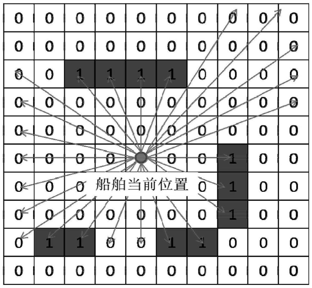
[0063] This application discloses a path planning method for intelligent ship collision avoidance based on heading and speed, the flow chart of which is as follows figure 1 As shown, the method includes the following steps:
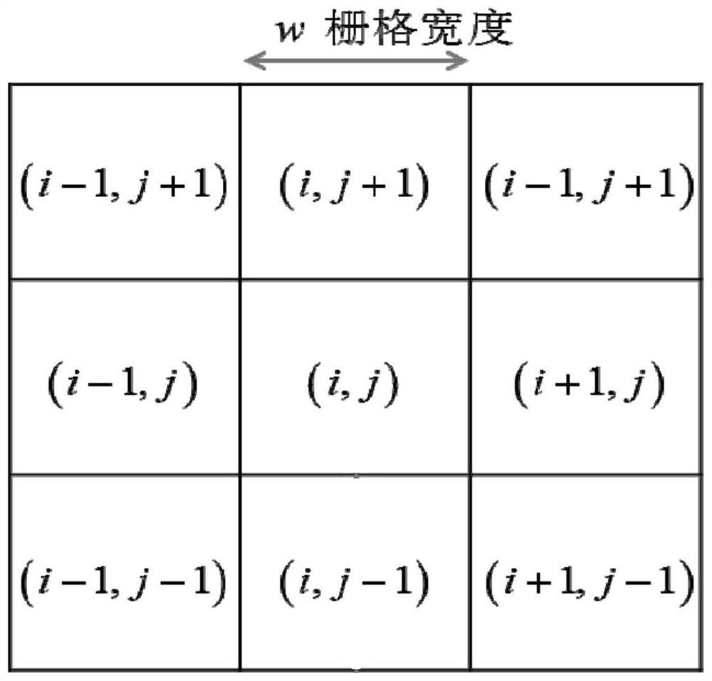
[0064] Step 1: Divide the geographic coordinates of the current navigation sea area into a grid network according to the preset grid resolution, such as figure 2 As shown, the geographic coordinates are converted into a dimensionless matrix through the following operations, and the grid network index is obtained as:
[0065]
[0066] Among them, (i, j) represents the grid network index, the symbol int represents rounding, (x, y) is the geographic coordinates of the navigation sea area, the unit is meter (m), w is the grid resolution (ie grid width), The unit is meter (m), and min means to take the minimum value fr...
PUM
 Abstract
Description
Claims
Application Information
 - R&D
- Intellectual Property
- Life Sciences
- Materials
- Tech Scout
- Unparalleled Data Quality
- Higher Quality Content
- 60% Fewer Hallucinations
Browse by: Latest US Patents, China's latest patents, Technical Efficacy Thesaurus, Application Domain, Technology Topic, Popular Technical Reports.
© 2025 PatSnap. All rights reserved.Legal|Privacy policy|Modern Slavery Act Transparency Statement|Sitemap|About US| Contact US: help@patsnap.com